Ultimate Survival Guide: Finding Your Way in Any Situation!
Adventure start here: Why you should Always carry a Compass and Map as backup
It is essential to know how to use a compass, it is a skill that everyone who enjoys the outdoors; trekkers, orienteers, kayakers and sailors will find indispensable.
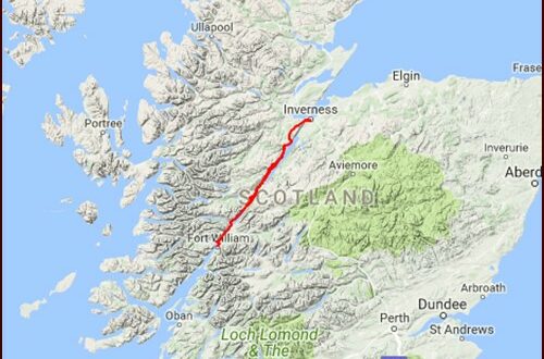
A map and a compass are still my basics for navigating and locating my position with confidence and ultimately surviving the wilderness; it gives you the choice to deviate from the trail and explore! I want to tell you more about my extraordinary journey.
Steps to Use a Compass
1. Holding the Compass
- Hold the compass flat in your hand at waist height, level with the ground, ensuring the baseplate is pointing straight ahead.
- 2. Taking a Bearing
- Direct Method:
- Point the direction of travel arrow towards your destination.
- Rotate the bezel until the orienting arrow is aligned with the magnetic needle (red end).
- Read the bearing at the index line (where the direction of travel arrow meets the bezel).
- Map Method:
- Place the compass on the map with the edge of the baseplate along your desired route.
- Rotate the bezel until the orienting lines are parallel with the map’s north-south grid lines, and the orienting arrow points to the map’s north.
- Hold the compass and map together, ensuring they do not move, and rotate them until the magnetic needle aligns with the orienting arrow.
- The direction of travel arrow now points towards your destination. Read the bearing at the index line.
- 3. Following a Bearing
- Hold the compass flat and turn your body until the magnetic needle aligns with the orienting arrow.
- Move in the direction of the travel arrow, keeping the needle and orienting arrow aligned.
- 4. Adjusting for Declination
- Declination: The angle difference between magnetic north and true north. This varies by location.
- Check local maps or online resources for the declination in your area.
- If your compass has a declination adjustment, set it accordingly. Otherwise, adjust manually:
- For west declination, subtract the declination angle from your bearing.
- For east declination, add the declination angle to your bearing.
Practical Tips
- Stay Level: Keep the compass level to ensure accurate readings.
- Avoid Metal: Stay away from metal objects or electronic devices that can interfere with the magnetic needle.
- Practice: Regular practice in various environments will improve your skills and confidence.
By understanding and practicing these steps, you can effectively use a compass for navigation in outdoor settings.
My favourite is the navigation Suunto MC-2 G Mirror Compass, and a great sighting compass for global mountaineers; insensitive to water pressure, handy for sailor and adventurous kayakers. It is accurate, durable and able to handle the difficult conditions encountered in our changing world….

- Fast globally balanced needle with jewel bearing
- 20 degrees tilt margin for easier readings
- Adjustable declination correction
- Liquid filled capsule for stable operation
- Mirror for sighting bearings and signaling
- Sighting hole and notch for accurate bearings
- Clinometer
- Luminescent markings for working in low light
- Metric UTM scales and inch ruler
- Baseplate with magnifying lens
- Detachable snap-lock lanyard with wristlock. Easy to detach for working with the map
- Suunto limited lifetime warranty
#livealifetodiefor #MoreThanMyPast #itsrogerx
Altimeter watch
Using my altimeter watch while trekking in the mountains is a great way to enhance both my navigation and safety. By tracking altitude through atmospheric pressure, it gives me valuable insights into my progress, helps me stay aware of changing weather conditions, and keeps me informed about my exact location.
My altimeter watch significantly improves my trekking experience by allowing me to navigate more accurately, track my elevation gains, and stay safe. It helps me predict weather changes and manage altitude-related risks. I just need to remember to calibrate it regularly and use it alongside other essential tools like maps and a compass for the best results.
GPS – Digital mapping and Navigation Hiking apps
